Jomo Kenyatta Avenue
Jump to navigation
Jump to search
.jpg) | |
| Part of | A109 |
|---|---|
| Namesake | Jomo Kenyatta |
| Length | 1.9 mi (3.1 km) |
| Location | Mombasa, Kenya |
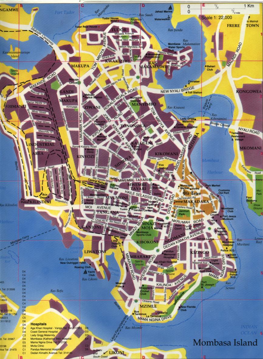
| Northwest end | Makupa Circus |
| Southeast end | Digo Road |
Jomo Kenyatta Avenue is a major road in Mombasa, Kenya. The majority of the road is a six-lane dual carriageway, separated by a concrete reservation of approximately 3 metres (9.8 ft) in width.
The road travels southeast from Makupa Circus,[1] and terminates at a junction with Digo Road.[2] Traffic on the road is restricted to 40 kilometres per hour (25 mph). The crossroads with Ronald Ngala Road and Mwatate Street provides one of Mombasa's two sets of traffic lights (the other being at the west end of the Nyali Bridge).
References
This Coast Province location article is a stub. You can help Wikipedia by expanding it. |
This Kenyan road or road transport-related article is a stub. You can help Wikipedia by expanding it. |
Categories:
- All articles with bare URLs for citations
- Articles with bare URLs for citations from March 2022
- Articles with image file bare URLs for citations
- Articles with short description
- Short description is different from Wikidata
- Kenya articles missing geocoordinate data
- All articles needing coordinates
- Articles missing coordinates without coordinates on Wikidata
- Streets in Mombasa
- Jomo Kenyatta
- All stub articles
- Coast Province, Kenya geography stubs
- Kenya stubs
- Africa road stubs