Plumb Point Lighthouse
 Plumb Point Lighthouse from the NE. | |
 | |
| Location | Great Plumb Point Palisadoes Peninsula St Andrew Jamaica[3] |
|---|---|
| Coordinates | 17°55′43″N 76°46′42″W / 17.9286656°N 76.778217°W[1] |
| Tower | |
| Constructed | 1853[2] |
| Foundation | concrete[2] |
| Construction | lower half stone and upper half cast iron[3] |
| Height | 21 metres (69 ft) |
| Shape | two stage tapered cylindrical tower with balcony and lantern |
| Markings | white tower, red lantern roof |
| Light | |
| Focal height | 21 metres (69 ft)[3] |
| Range | 25 miles (40 km) |
| Characteristic | Fl WR 9s.[3] |
Plumb Point Lighthouse is an active 19th century heritage lighthouse, located on the Palisadoes a narrow peninsular that connects Port Royal to the mainland. The light helps guide shipping into Kingston Harbour.
Built in 1853 it is claimed that the light at the lighthouse has gone out only once since then, during the 1907 earthquake.[2] The 70 feet (21 m) stone and cast iron tower with lantern and gallery[3] shows a white light visible for about 40 km (25 mi) over the entrance of the eastern navigable channel[2] and a red light over the south channel which is visible for 20 km (12 mi).[4][verification needed]
The entire lighthouse is painted white and is in the historic Port Royal Protected Area, which the government hopes to develop as a tourist attraction.[3] It is positioned about 8 km (5.0 mi) east of Port Royal and the entrance to Kingston Harbour near Norman Manley International Airport.[3]
It is maintained by the Port Authority of Jamaica, an agency of the Ministry of Transport and Works.[3]
See also
References
- ^ UK Directorate of Overseas Surveys 1:50,000 map of Jamaica (12 sheets), 1958-1973.
- ^ a b c d Plumb Point Lighthouse Archived 2009-09-08 at the Wayback Machine, Jamaica National Heritage Trust, 2005.
- ^ a b c d e f g h Rowlett, Russ. "Lighthouses of Jamaica". The Lighthouse Directory. University of North Carolina at Chapel Hill.
- ^ Plumb Point Lighthouse, Frans Eijgenraam, 2000.
External links
 Media related to Plumb Point Lighthouse at Wikimedia Commons
- Aerial views.
- Photos: [1] Archived 2011-10-08 at the Wayback Machine [2] [3] [4] [5] [6] [7] [8] [9].
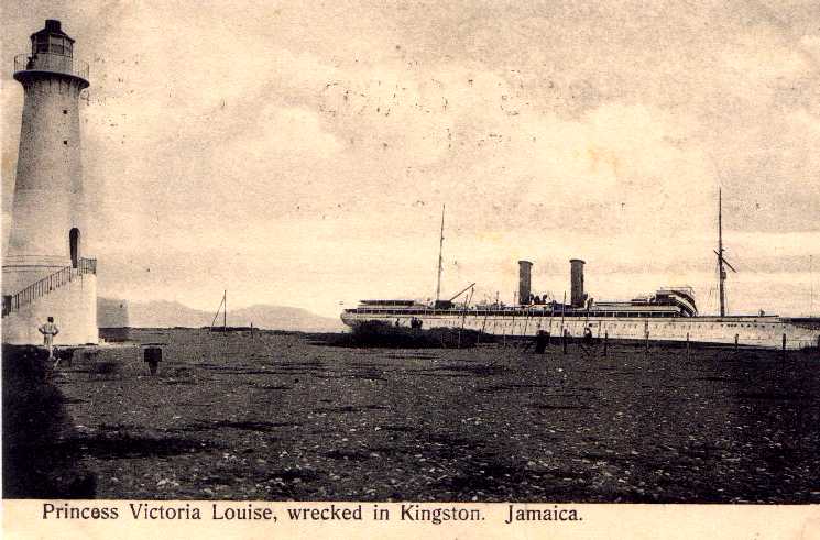
- Historic photo.
- Port Authority of Jamaica (flash)
![[1]](http://images.travelpod.com/users/kris/nostophobia.1194716820.port-royal-lighthouse.jpg)
| |
| Authority control databases: Geographic |
|---|
This lighthouse-related article is a stub. You can help Wikipedia by expanding it. |
This article about a Jamaican building or structure related topic is a stub. You can help Wikipedia by expanding it. |
- Pages using gadget WikiMiniAtlas
- Webarchive template wayback links
- Articles with short description
- Short description is different from Wikidata
- Infobox mapframe without OSM relation ID on Wikidata
- Coordinates on Wikidata
- Pages using infobox lighthouse with deprecated parameters
- All articles using infobox lighthouse
- All pages needing factual verification
- Wikipedia articles needing factual verification from October 2009
- Commons category link from Wikidata
- Articles with admiralty identifiers
- Articles with ARLHS identifiers
- Articles with NGA identifiers
- Lighthouses completed in 1853
- Lighthouses in Jamaica
- Buildings and structures in Saint Andrew Parish, Jamaica
- All stub articles
- Lighthouse stubs
- Jamaican building and structure stubs
- Pages using the Kartographer extension