Peters Glacier (Alaska Range)
| Peters Glacier | |
|---|---|
| Hanna Glacier Hudeetsedle Toyaane | |
 Peters Glacier | |
| Type | Valley glacier |
| Location | Denali Borough, Alaska, U.S. |
| Coordinates | 63°10′52″N 151°00′09″W / 63.18111°N 151.00250°W |
| Status | unknown |
 | |
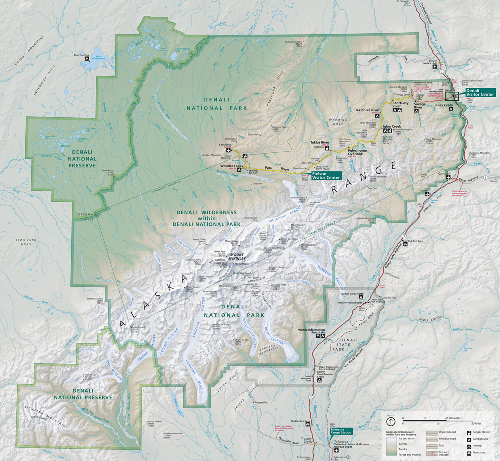
Peters Glacier, also known as Hanna Glacier and Hudeetsedle Toyaane' is a glacier in Denali National Park and Preserve in the U.S. state of Alaska. The glacier runs from the Peters Basin icefield in a deep valley to the north of Denali's Wickersham Wall, between Denali and Peters Dome, falling from the icefield via the Tluna Icefall, where it is joined by Jeffery Glacier. It exits the Alaska Range to the north, forming the source of the Muddy River.[1][2] Peters Glacier was named by A.H. Brooks for U.S. Geological Survey topographer William John Peters, who surveyed in Alaska from 1898 to 1902. Until 1947 it was named Hanna Glacier for U.S. Senator from Ohio Marcus Alonzo Hanna, a friend of President William McKinley.[3]
See also
Cited references
- ^ "Map of Denali National Park and Preserve". Denali National Park and Preserve. National Park Service. Retrieved 25 March 2013.
- ^ Denali National Park and Preserve (Map). !:225,000. National Geographic Maps. 2007. ISBN 978-1-56695-328-3.
- ^ "Peters Glacier". Geographic Names Information System. United States Geological Survey, United States Department of the Interior. Retrieved 2013-03-29.
This article about a glacier in Alaska is a stub. You can help Wikipedia by expanding it. |
- Pages using gadget WikiMiniAtlas
- Articles with short description
- Short description is different from Wikidata
- Coordinates on Wikidata
- Infobox mapframe without OSM relation ID on Wikidata
- Glaciers of Denali Borough, Alaska
- Glaciers of Denali National Park and Preserve
- Denali
- Glaciers of Alaska
- All stub articles
- Alaska glacier stubs
- Pages using the Kartographer extension