Mussard cave
Jump to navigation
Jump to search
This article needs additional citations for verification. (August 2016) |
| Mussard cave | |
|---|---|
| Caverne Mussard | |
| Location | La Réunion |
| Coordinates | 21°05′42″S 55°30′42″E / 21.095°S 55.511528°E |
| Elevation | 2,157 m (7,077 ft) |
| Discovery | 18th century (Maroon) |
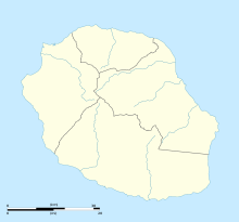
The Mussard cave (French: Caverne Mussard) is a mountain cave on the island of Réunion. Located about 2150 meters above sea level in the heart of the Piton des Neiges (Mountain range), it falls within the municipality of Saint-Benoit.[1] It is named after the slave hunter François Mussard, who have killed and captured a lot of Maroons in the mid eighteenth century.[2]
Notes and references
- ^ http://www.hikr.org/dir/Caverne_Mussard_48971/ Website for Hiking Reports Caverne Mussard
- ^ Patrick Beaton, Six Months in Reunion: A Clergyman's Holiday, and how He Passed it , Hurst and Blackett, 1860, p293.
