Lake Atuncocha
Jump to navigation
Jump to search
| Lake Atuncocha | |
|---|---|
| Lake Cullicocha | |
 Lake Atuncocha | |
| Location | Peru Ancash Region |
| Coordinates | 8°51′53″S 77°44′57″W / 8.86472°S 77.74917°W |
| Max. length | 1.88 km (1.17 mi) |
| Max. width | 0.6 km (0.37 mi) |
| Surface elevation | 4,625 m (15,174 ft) |
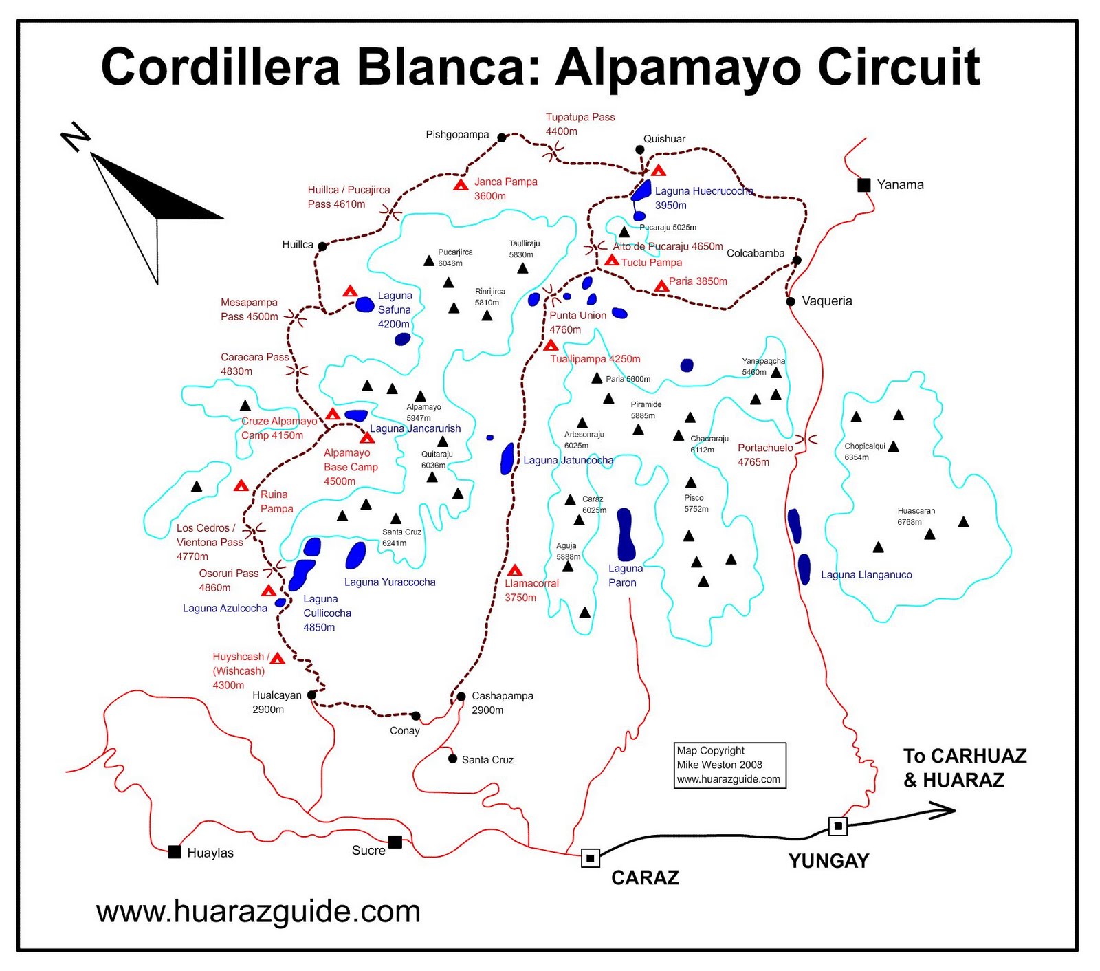
Lake Atuncocha (possibly from Quechua hatun big, large qucha lake,[1][2] "big lake"), also known as Lake Cullicocha[3] (possibly from Quechua kulli a color between blue and carmine (purple, violet, mulberry-colored)[2] is a lake in Peru located in the Ancash Region, Huaylas Province, Santa Cruz District.[4] It is situated at a height of about 4,625 metres (15,174 ft), about 1.88 km long and 0.6 km at its widest point. Lake Atuncocha lies in the Cordillera Blanca, northwest of Santa Cruz and Pergarumi, between Lake Rajucocha in the east and Lake Collorcocha in the west.
References
- ^ "Diccionario: Quechua - Español - Quechua, Simi Taqe: Qheswa - Español - Qheswa" (PDF). Diccionario Quechua - Español - Quechua. Gobierno Regional del Cusco, Perú: Academía Mayor de la Lengua Quechua. 2005.
- ^ a b Teofilo Laime Ajacopa (2007). Diccionario Bilingüe: Iskay simipi yuyayk’anch: Quechua – Castellano / Castellano – Quechua (PDF). La Paz, Bolivia: futatraw.ourproject.org.
- ^ blogspot.com Sketchmap of the area showing "Laguna Cullicocha"
- ^ escale.minedu.gob.pe - UGEL map of the Huaylas Province (Ancash Region)
This Ancash Region geography article is a stub. You can help Wikipedia by expanding it. |
Categories:
- Pages using gadget WikiMiniAtlas
- Articles with short description
- Short description matches Wikidata
- Coordinates on Wikidata
- Articles using infobox body of water without image
- Articles using infobox body of water without image bathymetry
- Lakes of Peru
- Lakes of Ancash Region
- All stub articles
- Ancash Region geography stubs