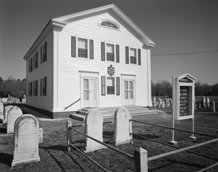
File:PERSPECTIVE VIEW OF EAST FRONT AND SOUTH SIDE LOOKING NORTHWEST - New Asbury Methodist Meeting House, Shore Road, Cape May Court House, Cape May County, NJ HABS NJ,5-CAPMAC,6-2.tif
Jump to navigation
Jump to search
Size of this JPG preview of this TIF file: 763 × 600 pixels. Other resolutions: 306 × 240 pixels | 611 × 480 pixels | 977 × 768 pixels | 1,280 × 1,006 pixels | 2,560 × 2,012 pixels | 4,684 × 3,681 pixels.
Original file (4,684 × 3,681 pixels, file size: 16.44 MB, MIME type: image/tiff)
Summary
| PERSPECTIVE VIEW OF EAST FRONT AND SOUTH SIDE LOOKING NORTHWEST - New Asbury Methodist Meeting House, Shore Road, Cape May Court House, Cape May County, NJ | ||||
|---|---|---|---|---|
| Title |
PERSPECTIVE VIEW OF EAST FRONT AND SOUTH SIDE LOOKING NORTHWEST - New Asbury Methodist Meeting House, Shore Road, Cape May Court House, Cape May County, NJ |
|||
| Depicted place | New Jersey; Cape May County; Cape May Court House | |||
| Dimensions | height: 4 in (10.1 cm); width: 5 in (12.7 cm) | |||
| Current location |
Library of Congress Prints and Photographs Division Washington, D.C. 20540 USA http://hdl.loc.gov/loc.pnp/pp.print |
|||
| Accession number |
HABS NJ,5-CAPMAC,6-2 |
|||
| Credit line |
|
|||
| Source | https://www.loc.gov/pictures/item/nj1408.photos.038261p | |||
| Permission (Reusing this file) |
|
|||

File history
Click on a date/time to view the file as it appeared at that time.
| Date/Time | Thumbnail | Dimensions | User | Comment | |
|---|---|---|---|---|---|
| current | 18:10, 5 July 2024 |  | 4,684 × 3,681 (16.44 MB) | commons>Zeete | Cropped 6 % horizontally, 8 % vertically, 14 % areawise using CropTool with precise mode. |
File usage
There are no pages that use this file.