File:Nuevo mapa de la Republica Argentina (1914).djvu
Jump to navigation
Jump to search
The media handler extension for this file format is missing. Advanced media features may not work unless the file is viewed at the shared repository.
Size of this preview: 375 × 599 pixels. Other resolutions: 150 × 240 pixels | 300 × 480 pixels | 481 × 768 pixels | 641 × 1,024 pixels | 1,282 × 2,048 pixels | 4,719 × 7,535 pixels.
Original file (file size: 8.57 MB, MIME type: image/vnd.djvu)
File history
Click on a date/time to view the file as it appeared at that time.
| Date/Time | Thumbnail | Dimensions | User | Comment | |
|---|---|---|---|---|---|
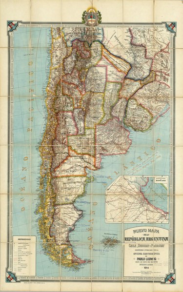
| current | 23:15, 15 September 2008 |  | (8.57 MB) | commons>Keysanger | {{Information |Description={{es|1=Nuevo mapa de la Republica Argentina, Chile, Uruguay y Paraguay construido y publicado por la Oficina Cartografica de Pablo Ludwig segun los datos mas recientes. Buenos Aires,1914. Gunche, Wiebeck y Turtl-O'Brien 121, Bs. |
File usage
There are no pages that use this file.