File:Map of the Far East of the USSR, Northern China (Manchuria) and Mongolia.tif
Jump to navigation
Jump to search

Size of this JPG preview of this TIF file: 800 × 583 pixels. Other resolutions: 320 × 233 pixels | 640 × 467 pixels | 1,024 × 747 pixels | 1,280 × 934 pixels | 1,404 × 1,024 pixels.
Original file (1,404 × 1,024 pixels, file size: 4.11 MB, MIME type: image/tiff)
File history
Click on a date/time to view the file as it appeared at that time.
| Date/Time | Thumbnail | Dimensions | User | Comment | |
|---|---|---|---|---|---|
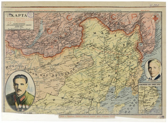
| current | 16:57, 15 February 2011 |  | 1,404 × 1,024 (4.11 MB) | commons>Shizhao | == {{int:filedesc}} == == {{int:filedesc}} == == {{int:filedesc}} == == {{int:filedesc}} == == {{int:filedesc}} == {{Information |Description=Map of the Far East of the USSR, Northern China (Manchuria) and Mongolia, 39 x 53 cm, 1:6 000 000 |Source=http:// |
File usage
There are no pages that use this file.