File:Map of Beaver Creek Fire and Past Fires.pdf
Jump to navigation
Jump to search
Size of this JPG preview of this PDF file: 463 × 599 pixels. Other resolutions: 185 × 240 pixels | 371 × 480 pixels | 593 × 768 pixels | 1,275 × 1,650 pixels.
Original file (1,275 × 1,650 pixels, file size: 702 KB, MIME type: application/pdf)
File history
Click on a date/time to view the file as it appeared at that time.
| Date/Time | Thumbnail | Dimensions | User | Comment | |
|---|---|---|---|---|---|
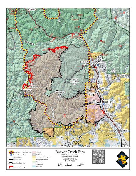
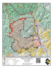
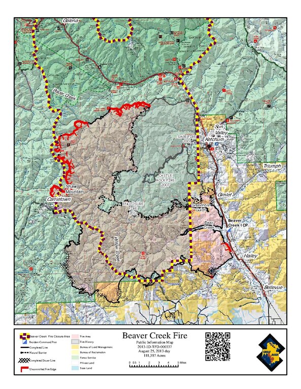
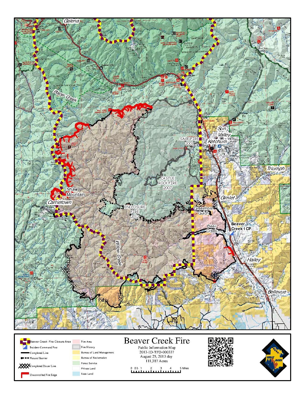
| current | 17:42, 14 November 2013 | 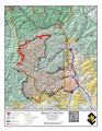 | 1,275 × 1,650 (702 KB) | commons>Lwebb02 | {{subst:Upload marker added by en.wp UW}} {{Information |Description = {{en|The picture is a map of the areas burned by the Beaver Creek Fire, Castle Rock Fire, and Sage Fire in Idaho.}} |Source = http://inciweb.nwcg.gov/photos/IDSTF/2013-08-12-1715-Be... |
File usage
There are no pages that use this file.