Defence Islands (Andaman Islands)
(Redirected from Defence Islands, Andaman)
 Defence Islands Location of Defence Islands | |
| Geography | |
|---|---|
| Location | Bay of Bengal |
| Coordinates | 11°57′N 92°36′E / 11.95°N 92.60°E |
| Archipelago | Andaman Islands |
| Adjacent to | Indian Ocean |
| Total islands | 7 |
| Major islands |
|
| Area | 6.19 km2 (2.39 sq mi)[1] |
| Highest elevation | 0 m (0 ft) |
| Administration | |
| District | South Andaman |
| Island group | Andaman Islands |
| Island sub-group | Great Andaman |
| Tehsil | Ferrargunj Tehsil |
| Demographics | |
| Population | 0 (2011) |
| Pop. density | 0.00/km2 (0/sq mi) |
| Ethnic groups | Hindu, Andamanese |
| Additional information | |
| Time zone | |
| PIN | 744202[2] |
| Telephone code | 031927 [3] |
| ISO code | IN-AN-00[4] |
| Official website | www |
| Literacy | 84.4% |
| Avg. summer temperature | 30.2 °C (86.4 °F) |
| Avg. winter temperature | 23.0 °C (73.4 °F) |
| Sex ratio | 1.2♂/♀ |
| Census Code | 35.639.0004 |
| Official Languages | Hindi, English |
Defence Islands are an island group of the Andaman Islands. It belongs to the South Andaman administrative district, part of the Indian union territory of Andaman and Nicobar Islands.[5] The islands are situated 33.5 km (21 mi) north from Port Blair.
Geography
The islands belongs to the Defence Group and lies in the sound of Jirkatang. at their southern islands, there is a natural harbour called Port Campbell.[6]
Administration
Politically, Defence Island, along neighboring islands, is part of Ferrargunj Taluk.[7]
References
- ^ "Islandwise Area and Population - 2011 Census" (PDF). Government of Andaman.
- ^ "A&N Islands - Pincodes". 22 September 2016. Archived from the original on 23 March 2014. Retrieved 22 September 2016.
{{cite web}}: CS1 maint: bot: original URL status unknown (link) - ^ "STD Codes of Andaman and Nicobar". allcodesindia.in. Archived from the original on 17 October 2019. Retrieved 23 September 2016.
- ^ Registration Plate Numbers added to ISO Code
- ^ "Village Code Directory: Andaman & Nicobar Islands" (PDF). Census of India. Retrieved 16 January 2011.
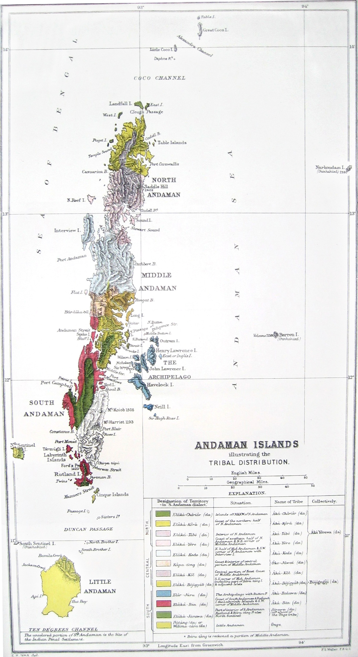
- ^ https://upload.wikimedia.org/wikipedia/commons/4/4a/Andaman_tribal_and_linguistic_map.jpg [bare URL image file]
- ^ "DEMOGRAPHIC – A&N ISLANDS" (PDF). andssw1.and.nic.in. Retrieved 23 September 2016.
 Andaman and Nicobar Islands travel guide from Wikivoyage
This Andaman and Nicobar Islands location article is a stub. You can help Wikipedia by expanding it. |
Categories:
- CS1 maint: bot: original URL status unknown
- All articles with bare URLs for citations
- Articles with bare URLs for citations from March 2022
- Articles with image file bare URLs for citations
- Use Indian English from September 2016
- All Wikipedia articles written in Indian English
- Use dmy dates from September 2016
- Coordinates on Wikidata
- Articles using infobox islands with additional info
- South Andaman district
- Islands of South Andaman district
- Archipelagoes of the Andaman and Nicobar Islands
- Bay of Bengal
- Uninhabited islands of India
- All stub articles
- Andaman and Nicobar geography stubs