Chota Inak
Jump to navigation
Jump to search
Chota Inak | |
|---|---|
village | |
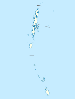
| Coordinates: 8°03′58″N 93°32′31″E / 8.066°N 93.542°E | |
| Country | India |
| State | Andaman and Nicobar Islands |
| District | Nicobar |
| Tehsil | Nancowry |
| Population (2011) | |
| • Total | 237 |
| Time zone | UTC+5:30 (IST) |
| Census code | 645128 |
Chota Inak is a village in the Nicobar district of Andaman and Nicobar Islands, India. It is located in the Nancowry tehsil.[1] The name means "Little Inake"; contrasted with Bada Inak ("Greater Inak").
Demographics
According to the 2011 census of India, Chota Inak has 42 households. The effective literacy rate (i.e. the literacy rate of population excluding children aged 6 and below) is 77.54%.[2]
| Total | Male | Female | |
|---|---|---|---|
| Population | 237 | 140 | 97 |
| Children aged below 6 years | 50 | 33 | 17 |
| Scheduled caste | 0 | 0 | 0 |
| Scheduled tribe | 199 | 111 | 88 |
| Literates | 145 | 91 | 54 |
| Workers (all) | 83 | 74 | 9 |
| Main workers (total) | 46 | 45 | 1 |
| Main workers: Cultivators | 0 | 0 | 0 |
| Main workers: Agricultural labourers | 0 | 0 | 0 |
| Main workers: Household industry workers | 0 | 0 | 0 |
| Main workers: Other | 46 | 45 | 1 |
| Marginal workers (total) | 37 | 29 | 8 |
| Marginal workers: Cultivators | 0 | 0 | 0 |
| Marginal workers: Agricultural labourers | 0 | 0 | 0 |
| Marginal workers: Household industry workers | 0 | 0 | 0 |
| Marginal workers: Others | 37 | 29 | 8 |
| Non-workers | 154 | 66 | 88 |
References
- ^ "Andaman and Nicobar Islands villages" (PDF). Land Records Information Systems Division, NIC. Archived from the original (PDF) on 4 March 2016. Retrieved 25 July 2015.
- ^ a b "District Census Handbook - Andaman & Nicobar Islands" (PDF). 2011 Census of India. Directorate of Census Operations, Andaman & Nicobar Islands. Archived from the original (PDF) on 1 August 2015. Retrieved 21 July 2015.

