Blåhø (Vågå)
Jump to navigation
Jump to search
| Blåhø | |
|---|---|
 Blåhø Location of the mountain  Blåhø Blåhø (Norway) | |
| Highest point | |
| Elevation | 1,617 m (5,305 ft)[2] |
| Prominence | 761 m (2,497 ft)[2] |
| Isolation | 17.3 km (10.7 mi)[2] |
| Coordinates | 61°53′50″N 9°17′06″E / 61.89709°N 9.28508°E[1] |
| Geography | |
| Location | Innlandet, Norway |
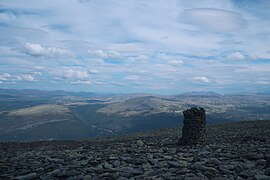
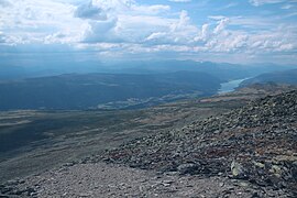
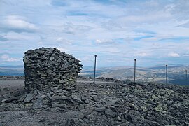
Blåhø or Blåhøe is a mountain in Innlandet county in Norway. The 1,617-metre (5,305 ft) tall mountain is located on the border of Vågå and Dovre municipalities. It is located about 10 kilometres (6.2 mi) south of the village of Dovre and about 10 kilometres (6.2 mi) east of the village of Vågåmo. The European route E6 highway runs past the east side of the mountain.
Media gallery
-
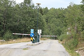 Tollroad
 -
 Tollroad
 -
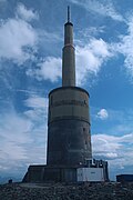 Radiolink
 -
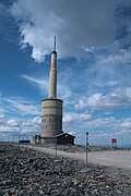 Radiolink
 -
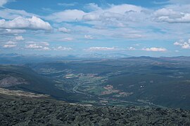 Gubrandsdalen
 -
 Mountainpeaks
 -
 Otta
Otta -
 Lom
Lom -
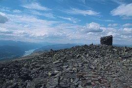 The top
 -
 The top
 -
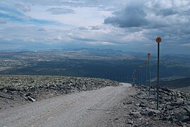 Road down
 -
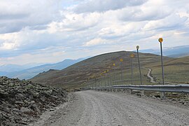
 Road up
 -
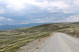
 Road down
 -
 Road down


See also
References
External links
This article about a mountain, mountain range, or peak in Innlandet is a stub. You can help Wikipedia by expanding it. |
Categories:
- Pages using gadget WikiMiniAtlas
- CS1 Norwegian-language sources (no)
- Articles with short description
- Short description is different from Wikidata
- Coordinates on Wikidata
- No local image but image on Wikidata
- Use dmy dates from April 2022
- Dovre
- Vågå
- Mountains of Innlandet
- All stub articles
- Innlandet mountain stubs