Anping Creek
Jump to navigation
Jump to search
This article needs additional citations for verification. (February 2022) |
| Anping Creek | |
|---|---|
| Location | |
| Country | China |
| Province | Liaoning Province |
| Physical characteristics | |
| Mouth | |
• coordinates | 40°19′08″N 124°42′32″E / 40.31875404125569°N 124.70902071484124°E |
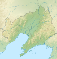
Anping Creek or the An-ping River (Chinese: 安平河) is a creek in Liaoning Province, China.[1]
It is a tributary of the Yalu River whose mouth is located at Gulouzi Township.
It formed part of the boundary between Russian-occupied Chinese Manchuria and Japanese Manchuria, as set forth in the Treaty of Shimonoseki in AD 1895.
References
- ^ Google maps
Categories:
- Pages using gadget WikiMiniAtlas
- Articles needing additional references from February 2022
- All articles needing additional references
- Articles with short description
- Short description matches Wikidata
- Coordinates on Wikidata
- Articles containing Chinese-language text
- Rivers of Liaoning
- All stub articles
- Liaoning geography stubs
- China river stubs
