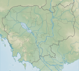
Phnom Tumpor
(Redirected from Tumpor)
| Phnom Tumpor | |
|---|---|
| Highest point | |
| Elevation | 1,551 m (5,089 ft)[1] |
| Coordinates | 12°22′00″N 103°04′00″E / 12.366667°N 103.066667°E[2] |
| Geography | |
| Location | Pursat Province, Cambodia |
| Parent range | Cardamom Mountains |
Phnom Tumpor (Khmer: ភ្នំទំព័រ; Tumpor Mountain) is a mountain in Pursat Province of western Cambodia. There is a village nearby named Tumpor that lies on the Stung Pouthisat River.[3] The mountain is part of the Cardamom Range and has an elevation of 1,551 metres (5,089 ft).[4]
References
- ^ Small carnivore records from the Cardamom Mountains - Philautus cardamonus
- ^ Phnom Tumpor - Cambodia
- ^ DK Travel Guides (1 June 2011). DK Eyewitness Travel Guide: Cambodia & Laos. Dorling Kindersley Limited. p. 88. ISBN 978-1-4053-4985-7.
- ^ Naron, Hang Chuon (1 February 2012). Cambodian Economy: Charting the Course of a Brighter Future. Institute of Southeast Asian Studies. p. 15. ISBN 978-981-4311-60-1. Retrieved 1 January 2013.
