File:Zumberge Coast.svg
Jump to navigation
Jump to search

Size of this PNG preview of this SVG file: 611 × 599 pixels. Other resolutions: 245 × 240 pixels | 489 × 480 pixels | 783 × 768 pixels | 1,044 × 1,024 pixels | 2,088 × 2,048 pixels | 1,095 × 1,074 pixels.
Original file (SVG file, nominally 1,095 × 1,074 pixels, file size: 4.52 MB)
File history
Click on a date/time to view the file as it appeared at that time.
| Date/Time | Thumbnail | Dimensions | User | Comment | |
|---|---|---|---|---|---|
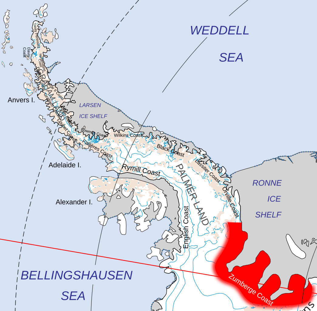
| current | 19:25, 19 July 2020 | | 1,095 × 1,074 (4.52 MB) | commons>Hogweard | {{Information |description=Location of the Zumberge Coast, of Palmer Land and Queen Elizabeth Land in the British Antarctic Territory and of Ellesworth Land |date=2020-07-19 |source={{f|Map of Queen Elizabeth Land, BAT.svg}} |author={{u|Hogweard}} |permission={{PD-self}} |other versions= }} Category:Maps of the British Antarctic Territory Category:Locator maps of Antarctic Peninsula |
File usage
There are no pages that use this file.