File:Younghusband PekingToYarkand Map.jpg
Jump to navigation
Jump to search
Size of this preview: 800 × 307 pixels. Other resolutions: 320 × 123 pixels | 640 × 245 pixels | 1,024 × 392 pixels | 2,346 × 899 pixels.
Original file (2,346 × 899 pixels, file size: 660 KB, MIME type: image/jpeg)
File history
Click on a date/time to view the file as it appeared at that time.
| Date/Time | Thumbnail | Dimensions | User | Comment | |
|---|---|---|---|---|---|
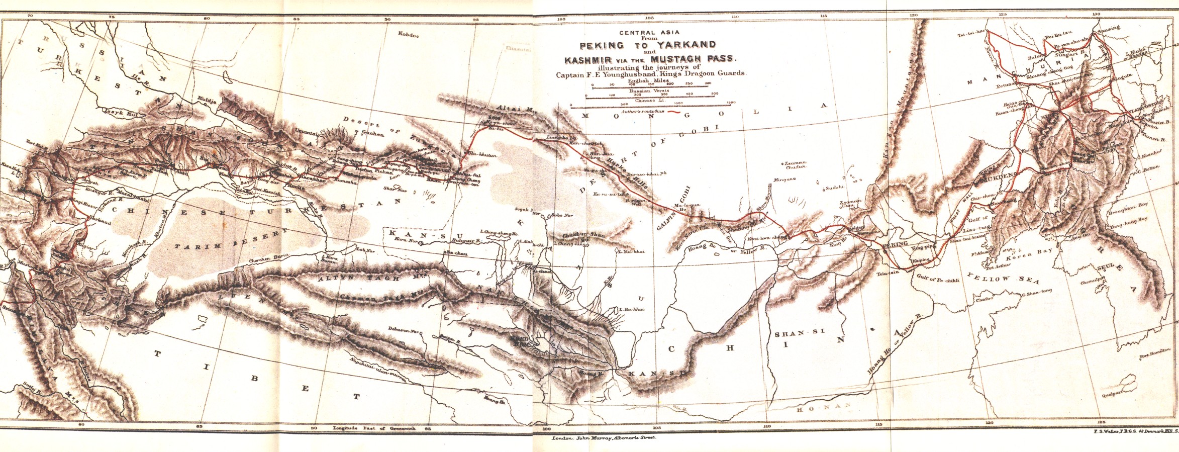
| current | 20:33, 24 December 2008 | 2,346 × 899 (660 KB) | commons>Keithonearth | {{Information |Description=A map showing the route of Frank E Younghusband on his trip from Beijing to Kashmir. |Source=The Heart of a Continent, A narrative of travels in Manchuria, across the Gobie Desart, Through the Himalayas, the Pamirs, And Chitral, |
File usage
There are no pages that use this file.