File:Yangi-hindutash-aurel-stein-map-1911.jpg
Jump to navigation
Jump to search

Size of this preview: 417 × 599 pixels. Other resolutions: 167 × 240 pixels | 334 × 480 pixels | 534 × 768 pixels | 712 × 1,024 pixels | 1,965 × 2,824 pixels.
Original file (1,965 × 2,824 pixels, file size: 1.92 MB, MIME type: image/jpeg)
File history
Click on a date/time to view the file as it appeared at that time.
| Date/Time | Thumbnail | Dimensions | User | Comment | |
|---|---|---|---|---|---|
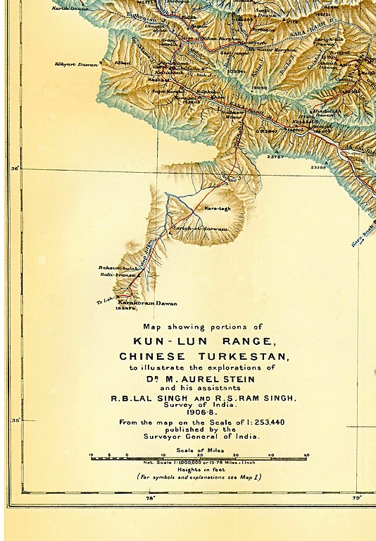
| current | 16:00, 21 August 2012 | | 1,965 × 2,824 (1.92 MB) | commons>Hunnjazal | {{Information |Description= Map (produced by the Survey of India) and used to illustrate the paper "Note on Maps Illustrating Dr. Stein's Explorations in Chinese Turkestan and Kansu" by M. Aurel Stein, The Geographical Journal, Vol. 37, No. 3. (Mar., 1... |
File usage
There are no pages that use this file.