File:Yamanigüey (OpenStreetMap).png
Jump to navigation
Jump to search

Size of this preview: 800 × 426 pixels. Other resolutions: 320 × 170 pixels | 640 × 340 pixels | 1,175 × 625 pixels.
Original file (1,175 × 625 pixels, file size: 116 KB, MIME type: image/png)
.png)
File history
Click on a date/time to view the file as it appeared at that time.
| Date/Time | Thumbnail | Dimensions | User | Comment | |
|---|---|---|---|---|---|
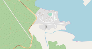
| current | 00:10, 26 June 2018 | | 1,175 × 625 (116 KB) | commons>DerBorg | {{OpenStreetMap|odbl=no|name=Yamanigüey}} == {{int:filedesc}} == *'''Source link:''' [https://www.openstreetmap.org/#map=16/20.5789/-74.7396 OSM map page of Yamanigüey] *{{en|Map showing the Cuban village of Yamanigüey.}} Category:Yamanigüey Category:OpenStreetMap maps of Cuba |
File usage
There are no pages that use this file.
.png)