File:Worlebury Camp Somerset Map.jpg
Jump to navigation
Jump to search
Size of this preview: 800 × 468 pixels. Other resolutions: 320 × 187 pixels | 640 × 374 pixels | 997 × 583 pixels.
Original file (997 × 583 pixels, file size: 106 KB, MIME type: image/jpeg)
File history
Click on a date/time to view the file as it appeared at that time.
| Date/Time | Thumbnail | Dimensions | User | Comment | |
|---|---|---|---|---|---|
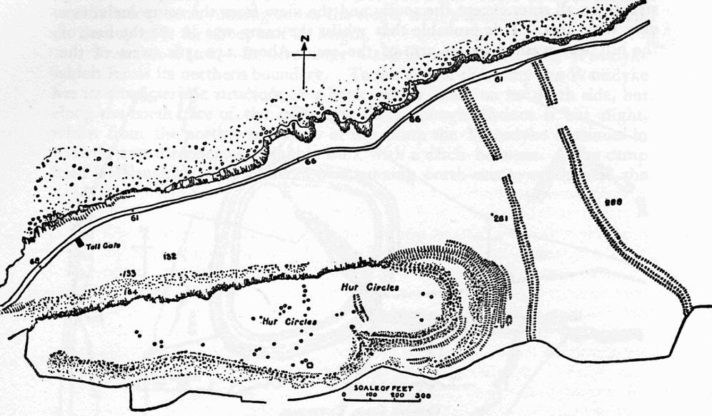
| current | 21:49, 21 December 2006 | | 997 × 583 (106 KB) | commons>Mikhailfranco~commonswiki | {{Information |Description=Map of earthworks at Worlebury Camp, Weston-super-Mare, Somerset, England. |Source=The Victoria History of the Counties of England, A History Of Somerset, Volume 2. |Date=1911 |Author=Editor - W.Page; Chapter on Ancient Earthwor |
File usage
There are no pages that use this file.