File:Worlds End State Park Trail 2 crop.jpg
Jump to navigation
Jump to search

Size of this preview: 450 × 599 pixels. Other resolutions: 180 × 240 pixels | 361 × 480 pixels | 577 × 768 pixels | 1,203 × 1,601 pixels.
Original file (1,203 × 1,601 pixels, file size: 314 KB, MIME type: image/jpeg)
File history
Click on a date/time to view the file as it appeared at that time.
| Date/Time | Thumbnail | Dimensions | User | Comment | |
|---|---|---|---|---|---|
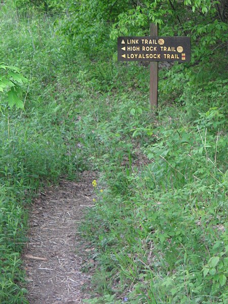
| current | 11:45, 25 May 2008 | | 1,203 × 1,601 (314 KB) | commons>Ruhrfisch | == Summary == {{Information |Description= Trail sign for the Link Trail, High Rock Trail, and Loyalsock Trail blaze in Worlds End State Park, near Forksville, Sullivan County, Pennsylvania, USA. |Source= photo taken by self |Date= May 2008 |Author= [[Use |
File usage
There are no pages that use this file.