File:WorldEEZ.png
Jump to navigation
Jump to search

Size of this preview: 800 × 355 pixels. Other resolutions: 320 × 142 pixels | 640 × 284 pixels | 1,024 × 455 pixels | 1,280 × 568 pixels | 2,403 × 1,067 pixels.
Original file (2,403 × 1,067 pixels, file size: 169 KB, MIME type: image/png)
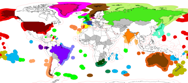
| Description | Carta con la rappresentazione delle zone economiche esclusive più lontane dai propri paesi |
| Date | (UTC) |
| Source | |
| Author |
|
| This is a retouched picture, which means that it has been digitally altered from its original version. The original can be viewed here: EEZ France.png:
|
I, the copyright holder of this work, hereby publish it under the following licenses:
| This file is licensed under the Creative Commons Attribution-Share Alike 3.0 Unported license. | ||
| ||
| This licensing tag was added to this file as part of the GFDL licensing update. |

|
Permission is granted to copy, distribute and/or modify this document under the terms of the GNU Free Documentation License, Version 1.2 or any later version published by the Free Software Foundation; with no Invariant Sections, no Front-Cover Texts, and no Back-Cover Texts. A copy of the license is included in the section entitled GNU Free Documentation License. |
You may select the license of your choice.
Original upload log
This image is a derivative work of the following images:
- File:EEZ_France.png licensed with Cc-by-sa-3.0-migrated, GFDL
Uploaded with derivativeFX
File history
Click on a date/time to view the file as it appeared at that time.
| Date/Time | Thumbnail | Dimensions | User | Comment | |
|---|---|---|---|---|---|
| current | 19:45, 12 April 2021 | | 2,403 × 1,067 (169 KB) | commons>Babelia | Fixing some issues in the Pacific |
File usage
There are no pages that use this file.