File:Wigtwizzle - geograph.org.uk - 122736.jpg
Jump to navigation
Jump to search
No higher resolution available.
Wigtwizzle_-_geograph.org.uk_-_122736.jpg (640 × 480 pixels, file size: 152 KB, MIME type: image/jpeg)
File history
Click on a date/time to view the file as it appeared at that time.
| Date/Time | Thumbnail | Dimensions | User | Comment | |
|---|---|---|---|---|---|
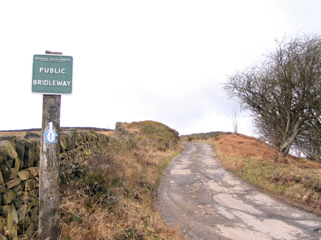
| current | 05:45, 31 January 2010 | | 640 × 480 (152 KB) | commons>GeographBot | == {{int:filedesc}} == {{Information |description={{en|1=Wigtwizzle. Bridleway leading from the summit of Lee Lane out of the quaintly-named hamlet of Wigtwizzle,across Canyard Hills past Old Booth farm to emerge on Mortimer Road.}} |date=2006-02-15 |sour |
File usage
There are no pages that use this file.