File:Whiteseamap.jpg
Jump to navigation
Jump to search
Size of this preview: 699 × 599 pixels. Other resolutions: 280 × 240 pixels | 560 × 480 pixels | 896 × 768 pixels | 1,195 × 1,024 pixels | 1,478 × 1,267 pixels.
Original file (1,478 × 1,267 pixels, file size: 370 KB, MIME type: image/jpeg)
File history
Click on a date/time to view the file as it appeared at that time.
| Date/Time | Thumbnail | Dimensions | User | Comment | |
|---|---|---|---|---|---|
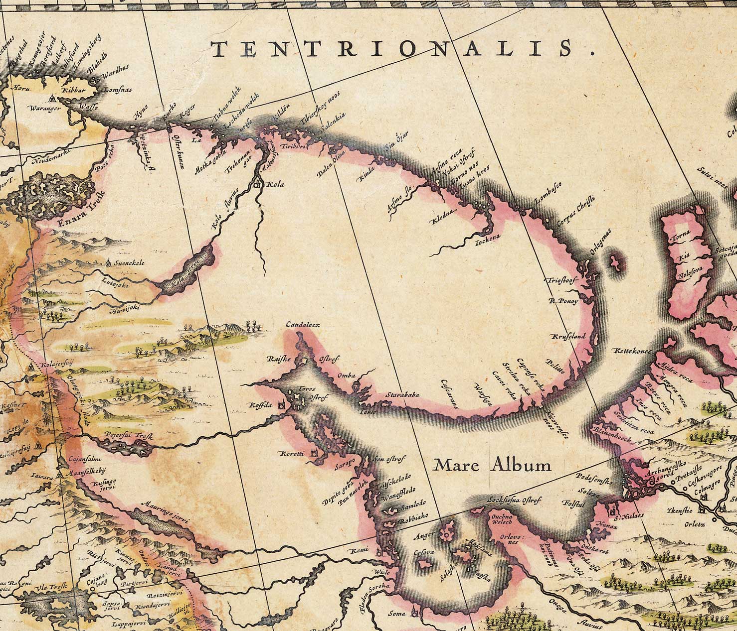
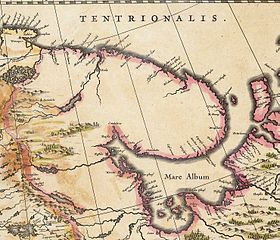
| current | 11:00, 2 December 2009 | | 1,478 × 1,267 (370 KB) | commons>File Upload Bot (Magnus Manske) | {{BotMoveToCommons|en.wikipedia|year={{subst:CURRENTYEAR}}|month={{subst:CURRENTMONTHNAME}}|day={{subst:CURRENTDAY}}}} {{Information |Description={{en|Map of the en:White Sea and adjacent regions. From the Dutch "Novus Atlas" (1635). Cartographer: |
File usage
There are no pages that use this file.