File:Whitchurch–Stouffville within York Region.svg
Jump to navigation
Jump to search

Size of this PNG preview of this SVG file: 387 × 600 pixels. Other resolutions: 155 × 240 pixels | 310 × 480 pixels | 495 × 768 pixels | 661 × 1,024 pixels | 1,321 × 2,048 pixels | 1,613 × 2,500 pixels.
Original file (SVG file, nominally 1,613 × 2,500 pixels, file size: 1.56 MB)
Summary
| Description |
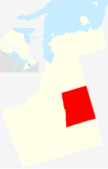
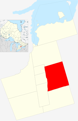
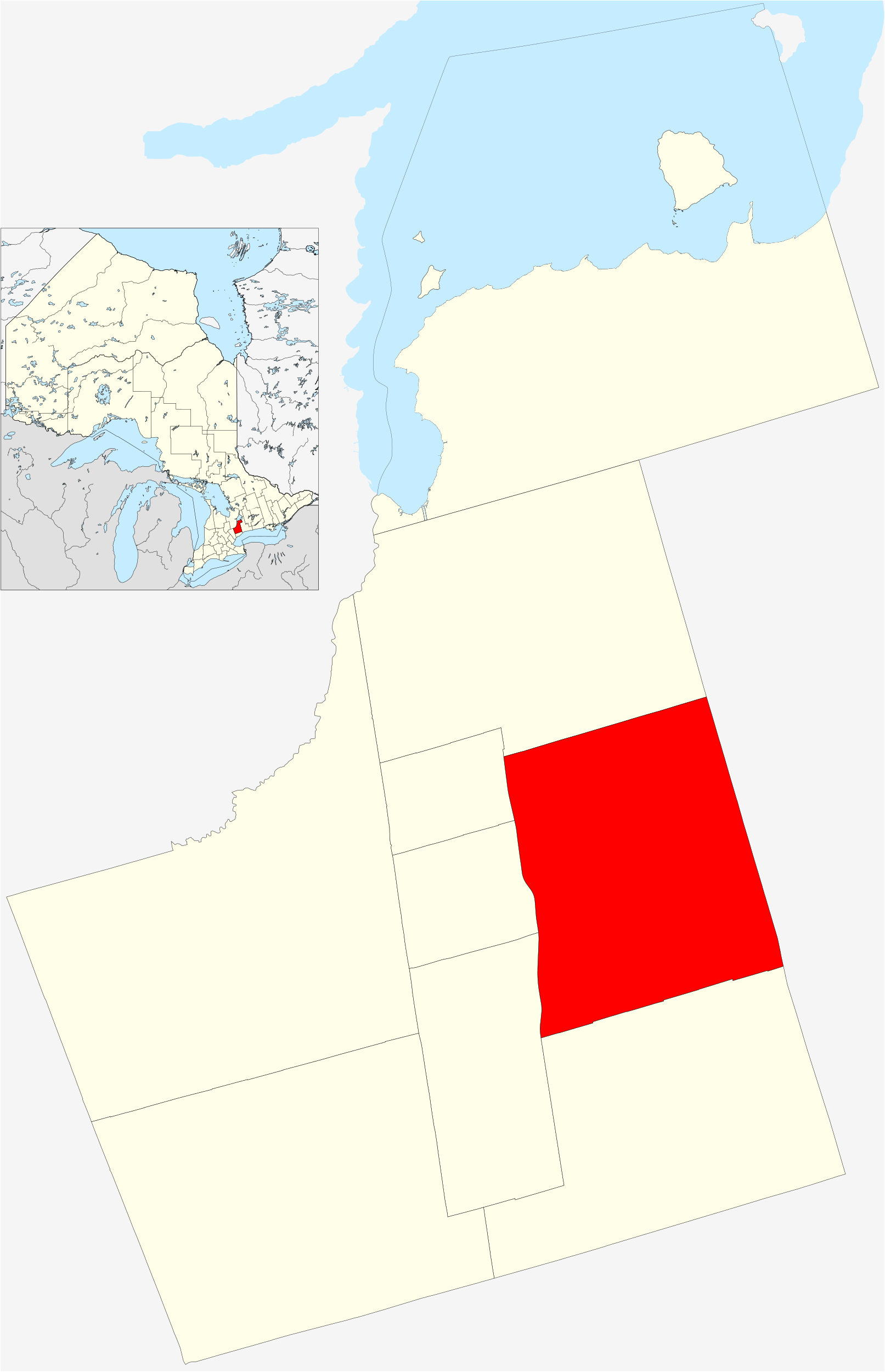
English: Whitchurch–Stouffville within York Region. |
| Date | |
| Source |
Own work, incorporates Canada Ontario location map 2. This W3C-unspecified vector image was created with Inkscape . |
| Author | Óðinn / NordNordWest |
| Permission (Reusing this file) |
This file is licensed under the Creative Commons Attribution-Share Alike 2.5 Canada license.
 |
| Camera location | | View this and other nearby images on: OpenStreetMap |
|---|
File history
Click on a date/time to view the file as it appeared at that time.
| Date/Time | Thumbnail | Dimensions | User | Comment | |
|---|---|---|---|---|---|
| current | 16:38, 24 June 2012 | | 1,613 × 2,500 (1.56 MB) | commons>The Cosmonaut | stroke width |
File usage
There are no pages that use this file.