File:Westprongoflittlepigeon.jpg
Jump to navigation
Jump to search
No higher resolution available.
Westprongoflittlepigeon.jpg (639 × 478 pixels, file size: 140 KB, MIME type: image/jpeg)
File history
Click on a date/time to view the file as it appeared at that time.
| Date/Time | Thumbnail | Dimensions | User | Comment | |
|---|---|---|---|---|---|
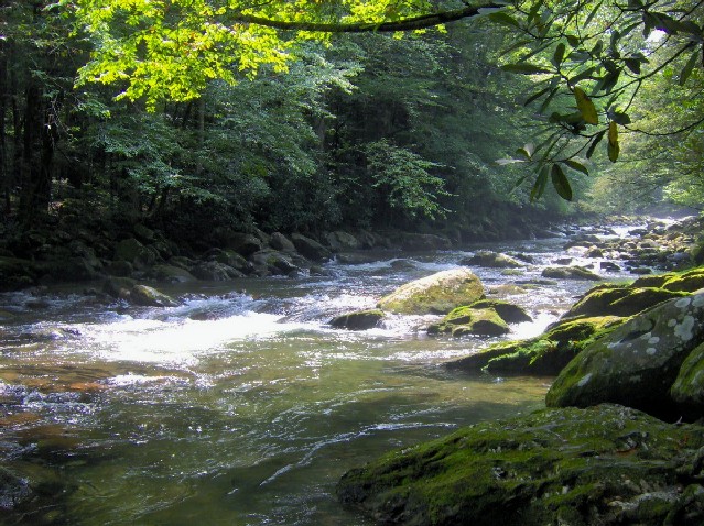
| current | 17:37, 7 August 2007 | | 639 × 478 (140 KB) | commons>BrineStans | {{Information |Description=The West Fork (or West Prong) of the Little Pigeon River near the heart of the Sugarlands. This is in the area of the old Sims ford, and can be reached by following the "Quiet Walkway" opposite the Huskey Gap Trailhead on US-44 |
File usage
There are no pages that use this file.