File:Western Cape Municipalities showing Prince Albert.png
Jump to navigation
Jump to search

Size of this preview: 800 × 578 pixels. Other resolutions: 320 × 231 pixels | 640 × 462 pixels | 1,024 × 739 pixels | 1,147 × 828 pixels.
Original file (1,147 × 828 pixels, file size: 14 KB, MIME type: image/png)
File history
Click on a date/time to view the file as it appeared at that time.
| Date/Time | Thumbnail | Dimensions | User | Comment | |
|---|---|---|---|---|---|
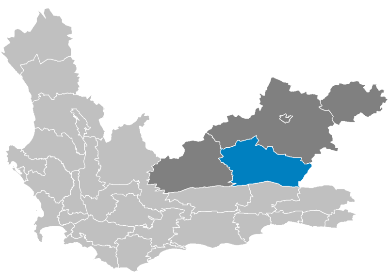
| current | 21:38, 12 May 2006 | | 1,147 × 828 (14 KB) | commons>Htonl | {{Information| |Description=Map showing the w:Prince Albert Local Municipality, within the w:Central Karoo District Municipality, within the Western Cape. |Source=Created by me from boundary data from the [[w:Municipal Demarca |
File usage
There are no pages that use this file.