File:West Africa 1839 Mitchell map - Kong.jpg
Jump to navigation
Jump to search

Size of this preview: 800 × 533 pixels. Other resolutions: 320 × 213 pixels | 640 × 427 pixels | 1,020 × 680 pixels.
Original file (1,020 × 680 pixels, file size: 206 KB, MIME type: image/jpeg)
File history
Click on a date/time to view the file as it appeared at that time.
| Date/Time | Thumbnail | Dimensions | User | Comment | |
|---|---|---|---|---|---|
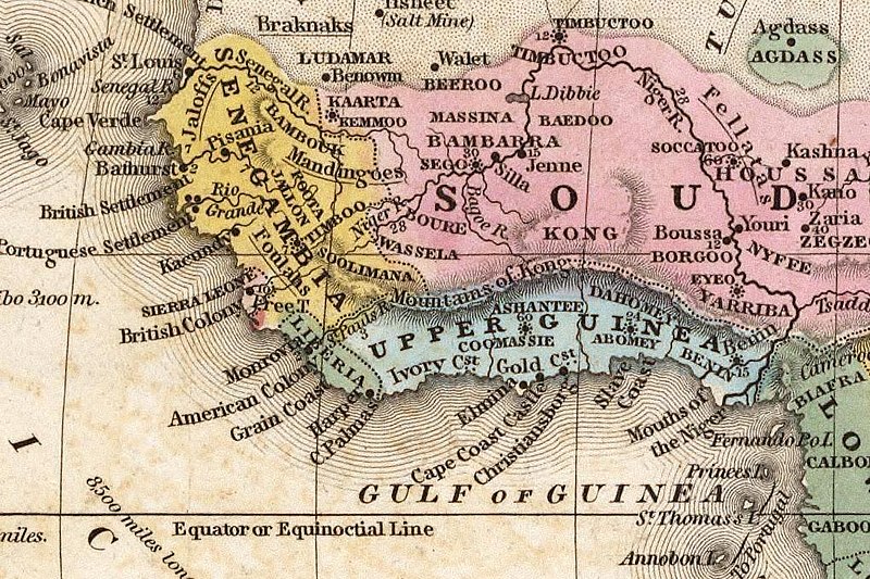
| current | 09:57, 7 July 2006 | | 1,020 × 680 (206 KB) | commons>Atamari | {{Information |Description={{en|West Africa 1839 Mitchell map - Kong. This map i, featuring the Kong Mountain Range, is drawn from an 1839 atlas published in Philadelphia}} |Source=http://www.flickr.com/photos/mdorn/2155869/ |Date=1839 / 12. Dezember 2004 |
File usage
There are no pages that use this file.