File:Weimar map (Atlantic islands detail).jpg
Jump to navigation
Jump to search
Size of this preview: 478 × 599 pixels. Other resolutions: 191 × 240 pixels | 383 × 480 pixels | 744 × 932 pixels.
Original file (744 × 932 pixels, file size: 92 KB, MIME type: image/jpeg)
.jpg)
File history
Click on a date/time to view the file as it appeared at that time.
| Date/Time | Thumbnail | Dimensions | User | Comment | |
|---|---|---|---|---|---|
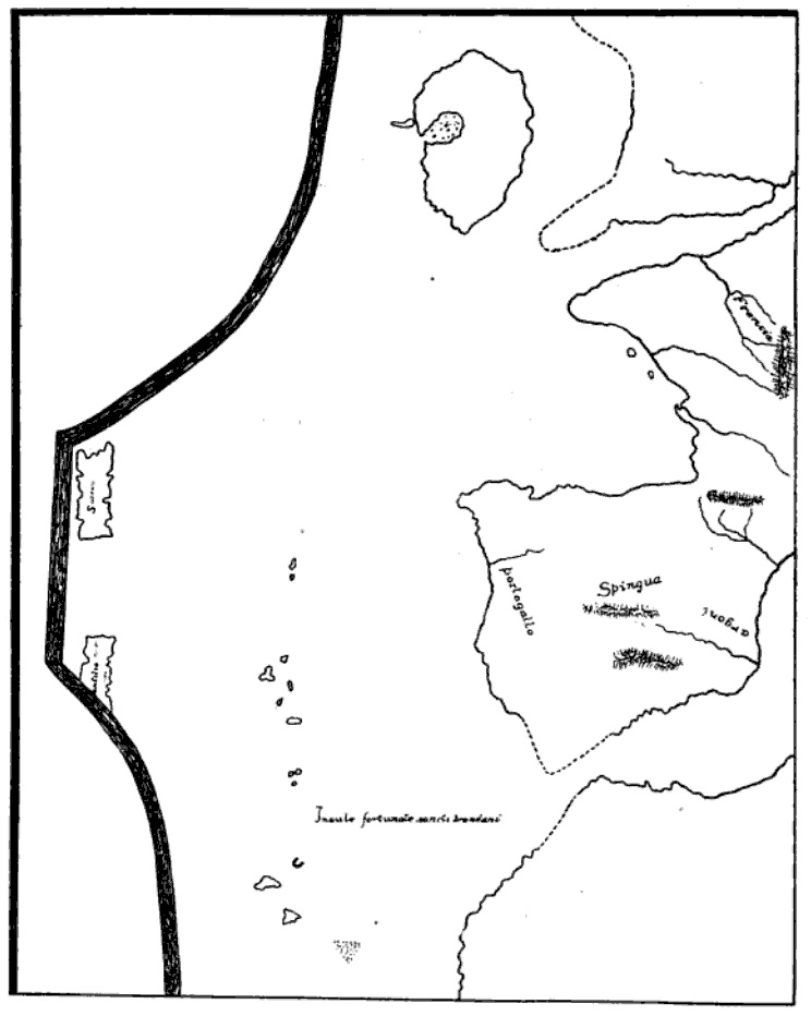
| current | 21:46, 11 June 2011 | | 744 × 932 (92 KB) | commons>Walrasiad | {{Information |Description ={{en|1=Sketched of a portion the w:Weimar map, an anonymous 15th C. Italian portolan held by the Grand Ducal Library in Weimar. Sometimes dated 1424, although more recent historians believe it was composed sometime betw |
File usage
There are no pages that use this file.
.jpg)