File:Wayfarers Walk Map Section 1.png
Jump to navigation
Jump to search

Size of this preview: 800 × 413 pixels. Other resolutions: 320 × 165 pixels | 640 × 330 pixels | 1,024 × 528 pixels | 1,512 × 780 pixels.
Original file (1,512 × 780 pixels, file size: 82 KB, MIME type: image/png)
Summary
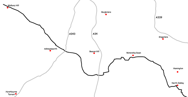
Created by Nick Austin and released to public domain on 11th March 2007.
Derived from GPS data; roads mapped by GPS between years 2000 and 2002; Trailway mapped by GPS in 2004.
Uploaded for inclusion in article titled w:Wayfarers Walk.
Licensing
| I, the copyright holder of this work, release this work into the public domain. This applies worldwide. In some countries this may not be legally possible; if so: I grant anyone the right to use this work for any purpose, without any conditions, unless such conditions are required by law. |
File history
Click on a date/time to view the file as it appeared at that time.
| Date/Time | Thumbnail | Dimensions | User | Comment | |
|---|---|---|---|---|---|
| current | 22:30, 11 March 2007 | | 1,512 × 780 (82 KB) | commons>Nick1nildram | Created by Nick Austin and released to public domain on 11th March 2007. Derived from GPS data; roads mapped by GPS between years 2000 and 2002; Trailway mapped by GPS in 2004. Uploaded for inclusion in article titled Wayfarers Walk. |
File usage
There are no pages that use this file.