File:Wana-NGA-Tactical-Pilotage-Chart.jpg
Jump to navigation
Jump to search

Size of this preview: 796 × 599 pixels. Other resolutions: 319 × 240 pixels | 638 × 480 pixels | 798 × 601 pixels.
Original file (798 × 601 pixels, file size: 260 KB, MIME type: image/jpeg)
File history
Click on a date/time to view the file as it appeared at that time.
| Date/Time | Thumbnail | Dimensions | User | Comment | |
|---|---|---|---|---|---|
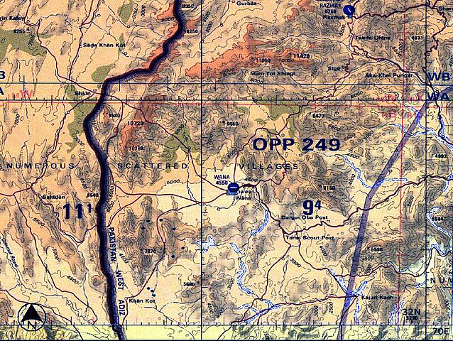
| current | 23:28, 6 November 2006 | | 798 × 601 (260 KB) | commons>Bejnar | {{Information |Description=NGA Tactical Pilotage Chart; scale 1-500,000; Wana and the border with Afghanistan, Waziristan Province, Pakistan |Source=National Geospatial-Intelligence Agency, Tactical Pilotage Chart |Date=2001 |Author=National Geospatial-I |
File usage
There are no pages that use this file.