File:Voieprenestine planlatium.jpg
Jump to navigation
Jump to search

Size of this preview: 781 × 600 pixels. Other resolutions: 313 × 240 pixels | 625 × 480 pixels | 1,000 × 768 pixels | 1,280 × 983 pixels | 2,560 × 1,965 pixels | 2,734 × 2,099 pixels.
Original file (2,734 × 2,099 pixels, file size: 2.64 MB, MIME type: image/jpeg)
File history
Click on a date/time to view the file as it appeared at that time.
| Date/Time | Thumbnail | Dimensions | User | Comment | |
|---|---|---|---|---|---|
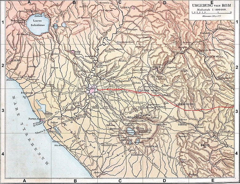
| current | 12:17, 11 June 2008 | | 2,734 × 2,099 (2.64 MB) | commons>Coldeel | {{Information |Description={{fr|1=Fond de carte de 1886 (G. Droysens Allgemeiner Historischer Handatlas), libre de droit (Image:Rom_Umgebung.jpg), avec la voie Prénestine en rouge.}} |Source=Fond de carte 1886 / travail personnel (own work) |Author= |
File usage
There are no pages that use this file.