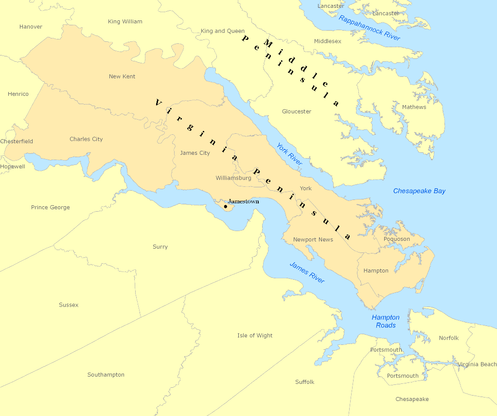
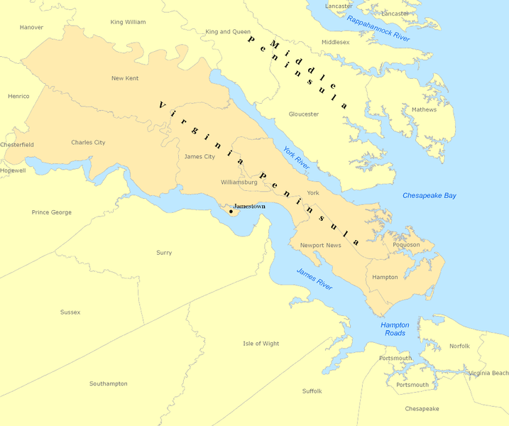
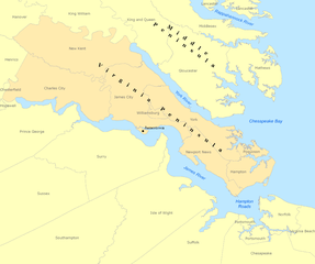
File:Virginia-peninsula.png
Jump to navigation
Jump to search
Size of this preview: 717 × 600 pixels. Other resolutions: 287 × 240 pixels | 574 × 480 pixels | 1,022 × 855 pixels.
Original file (1,022 × 855 pixels, file size: 147 KB, MIME type: image/png)
File history
Click on a date/time to view the file as it appeared at that time.
| Date/Time | Thumbnail | Dimensions | User | Comment | |
|---|---|---|---|---|---|
| current | 15:41, 7 March 2008 | | 1,022 × 855 (147 KB) | commons>Awiseman | {{Information |Description=Map of the Virginia Peninsula created with Arcview |Source=ESRI/Teleatlas/GDI |Date=3-7-08 |Author=Andrew Wiseman |Permission= |other_versions= }} |
File usage
There are no pages that use this file.