File:Village Hall at Jacobs Well - geograph.org.uk - 52889.jpg
Jump to navigation
Jump to search
No higher resolution available.
Village_Hall_at_Jacobs_Well_-_geograph.org.uk_-_52889.jpg (640 × 427 pixels, file size: 72 KB, MIME type: image/jpeg)
File history
Click on a date/time to view the file as it appeared at that time.
| Date/Time | Thumbnail | Dimensions | User | Comment | |
|---|---|---|---|---|---|
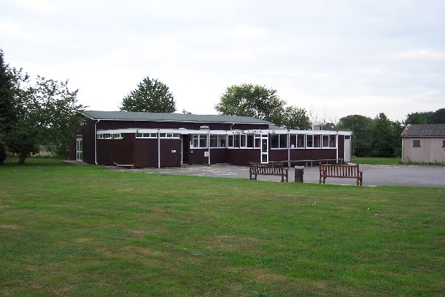
| current | 20:44, 30 January 2010 | | 640 × 427 (72 KB) | commons>GeographBot | == {{int:filedesc}} == {{Information |description={{en|1=Village Hall at Jacobs Well. Jacobs Well was originally a small settlement around the junction of Clay Lane and the road to Sutton Green, not far from the River Wey. Today suburban bungalows and cul |
File usage
There are no pages that use this file.