File:View south east down Killary Harbour - geograph.org.uk - 201456.jpg
Jump to navigation
Jump to search
No higher resolution available.
View_south_east_down_Killary_Harbour_-_geograph.org.uk_-_201456.jpg (640 × 496 pixels, file size: 115 KB, MIME type: image/jpeg)
File history
Click on a date/time to view the file as it appeared at that time.
| Date/Time | Thumbnail | Dimensions | User | Comment | |
|---|---|---|---|---|---|
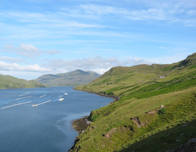
| current | 22:38, 31 January 2010 | | 640 × 496 (115 KB) | commons>GeographBot | == {{int:filedesc}} == {{Information |description={{en|1=View south east down Killary Harbour. From famine relief track at a high point on a rocky knoll. The relatively steep pastureland on the south shore of Killary Harbour has one modern farm (white bui |
File usage
There are no pages that use this file.