File:View across Fairmile Bottom - geograph.org.uk - 336671.jpg
Jump to navigation
Jump to search
No higher resolution available.
View_across_Fairmile_Bottom_-_geograph.org.uk_-_336671.jpg (640 × 428 pixels, file size: 81 KB, MIME type: image/jpeg)
File history
Click on a date/time to view the file as it appeared at that time.
| Date/Time | Thumbnail | Dimensions | User | Comment | |
|---|---|---|---|---|---|
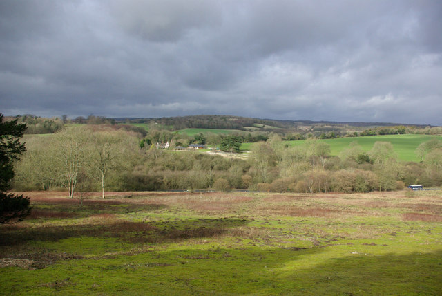
| current | 22:51, 30 December 2010 | | 640 × 428 (81 KB) | commons>GeographBot | == {{int:filedesc}} == {{Information |description={{en|1=View across Fairmile Bottom The field in the foreground (plagued by moles) finishes at the A29, just visible. Most of the view is Madehurst parish, a parish with hardly any village.}} |date=2007-02- |
File usage
There are no pages that use this file.