File:Vaughan (riding map).png
Jump to navigation
Jump to search

Size of this preview: 530 × 599 pixels. Other resolutions: 212 × 240 pixels | 424 × 480 pixels | 679 × 768 pixels | 1,055 × 1,193 pixels.
Original file (1,055 × 1,193 pixels, file size: 353 KB, MIME type: image/png)
.png)
File history
Click on a date/time to view the file as it appeared at that time.
| Date/Time | Thumbnail | Dimensions | User | Comment | |
|---|---|---|---|---|---|
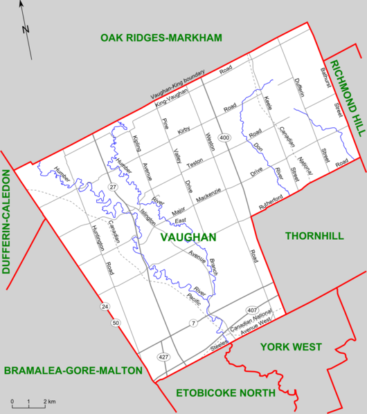
| current | 19:43, 5 February 2008 | | 1,055 × 1,193 (353 KB) | commons>Slyguy~commonswiki | {{Information |Description=Map of the Ontario federal and provincial riding of Vaughan (boundaries defined 2003, adopted federally in 2004 and provincially in 2007) |Source=Self-made, based on [http://www.elections.ca/scripts/pss/PopUpWindows.asp?ED=35096 |
File usage
There are no pages that use this file.
.png)