File:Ural river.jpg
Jump to navigation
Jump to search

Size of this preview: 562 × 600 pixels. Other resolutions: 225 × 240 pixels | 450 × 480 pixels | 719 × 768 pixels | 959 × 1,024 pixels | 1,689 × 1,803 pixels.
Original file (1,689 × 1,803 pixels, file size: 651 KB, MIME type: image/jpeg)
Summary
| Description | |
| Date |
3 April 2008 (original upload date) |
| Source | Own work (Original text: self-made) |
| Author | Ds02006 (talk) |
| Camera location | | View this and other nearby images on: OpenStreetMap |
|---|
Licensing
| This work has been released into the public domain by its author, Ds02006 at English Wikipedia. This applies worldwide. In some countries this may not be legally possible; if so: Ds02006 grants anyone the right to use this work for any purpose, without any conditions, unless such conditions are required by law. |
Original upload log
Transferred from en.wikipedia to Commons by Smooth_O using CommonsHelper.
The original description page was here. All following user names refer to en.wikipedia.
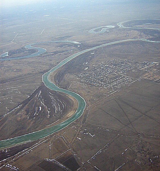
- 2008-04-03 10:06 Ds02006 1704×2272×??? (1594589 bytes) {{Information |Description= Ural river between [[Uralsk]] and [[Atyrau]], [[Kazakhstan]] |Source=self-made |Date= 10-MAR-2008 |Location= over Ural river, Kazakhstan |Author=~~~ |other_versions= }}
File history
Click on a date/time to view the file as it appeared at that time.
| Date/Time | Thumbnail | Dimensions | User | Comment | |
|---|---|---|---|---|---|
| current | 07:04, 5 July 2010 | | 1,689 × 1,803 (651 KB) | commons>Materialscientist | minor crop, constrastm unsharp mask (Gimp) |
File usage
There are no pages that use this file.