File:USA Rhode Island location map.svg
Jump to navigation
Jump to search

Size of this PNG preview of this SVG file: 445 × 599 pixels. Other resolutions: 178 × 240 pixels | 356 × 480 pixels | 570 × 768 pixels | 760 × 1,024 pixels | 1,520 × 2,048 pixels | 758 × 1,021 pixels.
Original file (SVG file, nominally 758 × 1,021 pixels, file size: 91 KB)
File history
Click on a date/time to view the file as it appeared at that time.
| Date/Time | Thumbnail | Dimensions | User | Comment | |
|---|---|---|---|---|---|
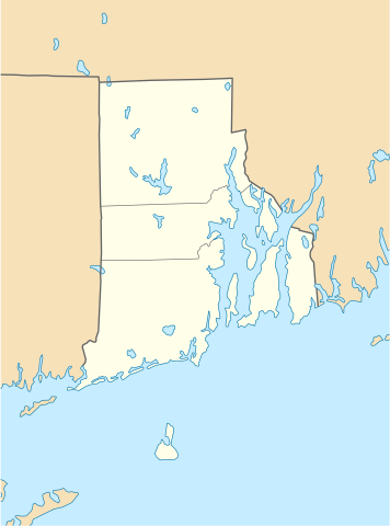
| current | 18:51, 11 June 2009 | | 758 × 1,021 (91 KB) | commons>NordNordWest | {{Information |Description= {{de|Positionskarte von Rhode Island, USA}} Quadratische Plattkarte, N-S-Streckung 135 %. Geographische Begrenzung der Karte: * N: 42.2° N * S: 41.0° N * W: 72.1° W * O: 70.9° W {{en|Locatio |
File usage
There are no pages that use this file.