File:USA Hawaii location map.svg
Jump to navigation
Jump to search

Size of this PNG preview of this SVG file: 800 × 519 pixels. Other resolutions: 320 × 208 pixels | 640 × 415 pixels | 1,024 × 664 pixels | 1,280 × 831 pixels | 2,560 × 1,661 pixels | 1,441 × 935 pixels.
Original file (SVG file, nominally 1,441 × 935 pixels, file size: 31 KB)
File history
Click on a date/time to view the file as it appeared at that time.
| Date/Time | Thumbnail | Dimensions | User | Comment | |
|---|---|---|---|---|---|
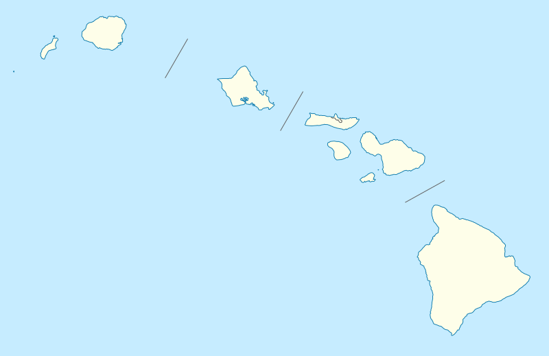
| current | 18:36, 13 June 2009 | | 1,441 × 935 (31 KB) | commons>NordNordWest | {{Information |Description= {{de|Positionskarte von Hawaii, USA}} Quadratische Plattkarte, N-S-Streckung 107 %. Geographische Begrenzung der Karte: * N: 22.4° N * S: 18.7° N * W: 160.7° W * O: 154.6° W {{en|Location map of [ |
File usage
There are no pages that use this file.