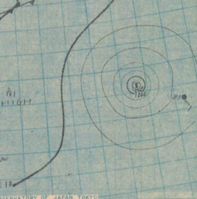
File:Typhoon Charlotte's Weather map on April 14, 1946.png
Jump to navigation
Jump to search
Size of this preview: 593 × 599 pixels. Other resolutions: 237 × 240 pixels | 639 × 646 pixels.
Original file (639 × 646 pixels, file size: 567 KB, MIME type: image/png)
File history
Click on a date/time to view the file as it appeared at that time.
| Date/Time | Thumbnail | Dimensions | User | Comment | |
|---|---|---|---|---|---|
| current | 01:46, 1 April 2021 | | 639 × 646 (567 KB) | commons>HurricaneParrot | Uploaded a work by 日本気象庁 from http://agora.ex.nii.ac.jp/cgi-bin/weather-chart/show.pl?type=as&id=19460514_3&lang=ja with UploadWizard |
File usage
There are no pages that use this file.