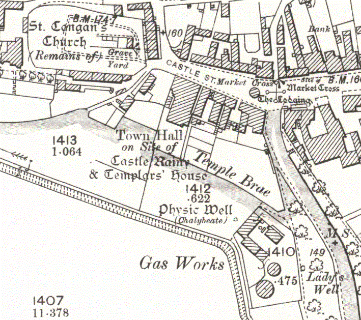
File:Turriff, Aberdeenshire - Ordnance Survey Map 1892-1914.gif
Jump to navigation
Jump to search
Size of this preview: 676 × 600 pixels. Other resolutions: 271 × 240 pixels | 541 × 480 pixels | 709 × 629 pixels.
Original file (709 × 629 pixels, file size: 158 KB, MIME type: image/gif)
File history
Click on a date/time to view the file as it appeared at that time.
| Date/Time | Thumbnail | Dimensions | User | Comment | |
|---|---|---|---|---|---|
| current | 07:35, 27 June 2019 | | 709 × 629 (158 KB) | commons>TurraCoo88 | Cross-wiki upload from en.wikipedia.org |
File usage
There are no pages that use this file.