File:Tunisia Topography.png
Jump to navigation
Jump to search
Size of this preview: 368 × 598 pixels. Other resolutions: 147 × 240 pixels | 295 × 480 pixels | 733 × 1,192 pixels.
Original file (733 × 1,192 pixels, file size: 708 KB, MIME type: image/png)
File history
Click on a date/time to view the file as it appeared at that time.
| Date/Time | Thumbnail | Dimensions | User | Comment | |
|---|---|---|---|---|---|
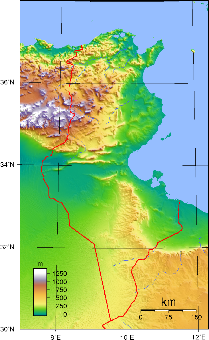
| current | 21:18, 29 June 2007 | | 733 × 1,192 (708 KB) | commons>Sadalmelik | {{Information |Description=Topographic map of Tunisia. Created with GMT from SRTM data. |Source=self-made |Date=June 29, 2007 |Author= Sadalmelik }} Category:Maps of Tunisia Category:Topographic maps of Tunsia |
File usage
There are no pages that use this file.