File:Troy, Virginia USGS 1994.jpg
Jump to navigation
Jump to search

Size of this preview: 750 × 600 pixels. Other resolutions: 300 × 240 pixels | 600 × 480 pixels | 1,000 × 800 pixels.
Original file (1,000 × 800 pixels, file size: 184 KB, MIME type: image/jpeg)
File history
Click on a date/time to view the file as it appeared at that time.
| Date/Time | Thumbnail | Dimensions | User | Comment | |
|---|---|---|---|---|---|
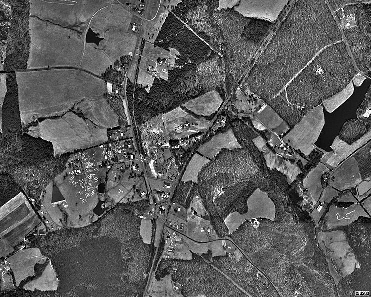
| current | 22:33, 30 November 2010 | | 1,000 × 800 (184 KB) | commons>KimChee | {{Information |Description={{en|1=Aerial photo of the unincorporated town of {{w|Troy, Virginia}} ({{w|United States Census|U.S. Census}} class code U6) in 1994. The diagonal NE/SW road bisecting the image is {{w|U.S. Route 15 in Virginia|U.S. Route 15}}. |
File usage
There are no pages that use this file.