File:Trig point within Bartine Castle, Bartinney Downs - geograph.org.uk - 40934.jpg
Jump to navigation
Jump to search
No higher resolution available.
Trig_point_within_Bartine_Castle,_Bartinney_Downs_-_geograph.org.uk_-_40934.jpg (640 × 480 pixels, file size: 178 KB, MIME type: image/jpeg)
File history
Click on a date/time to view the file as it appeared at that time.
| Date/Time | Thumbnail | Dimensions | User | Comment | |
|---|---|---|---|---|---|
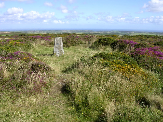
| current | 19:54, 30 January 2010 | | 640 × 480 (178 KB) | commons>GeographBot | == {{int:filedesc}} == {{Information |description={{en|1=Trig point within Bartine Castle, Bartinney Downs. The castle is in fact an iron age inclosure, whose circular earthen bank still remains on top of this broad hill. Much of the hill is covered with |
File usage
There are no pages that use this file.