File:Trig. point at Ridley - geograph.org.uk - 151530.jpg
Jump to navigation
Jump to search
No higher resolution available.
Trig._point_at_Ridley_-_geograph.org.uk_-_151530.jpg (640 × 485 pixels, file size: 79 KB, MIME type: image/jpeg)
File history
Click on a date/time to view the file as it appeared at that time.
| Date/Time | Thumbnail | Dimensions | User | Comment | |
|---|---|---|---|---|---|
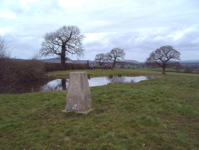
| current | 11:53, 31 January 2010 | | 640 × 485 (79 KB) | commons>GeographBot | == {{int:filedesc}} == {{Information |description={{en|1=Trig. point at Ridley The view is to the NW. The trig. point (alt. 125m) lies just E of the A49 and just N of the A534 in the parish of Ridley. A telephone mast and covered reservoir lie just behind |
File usage
There are no pages that use this file.