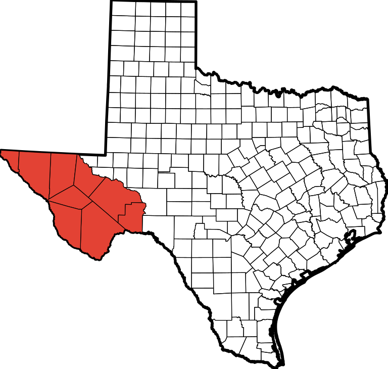
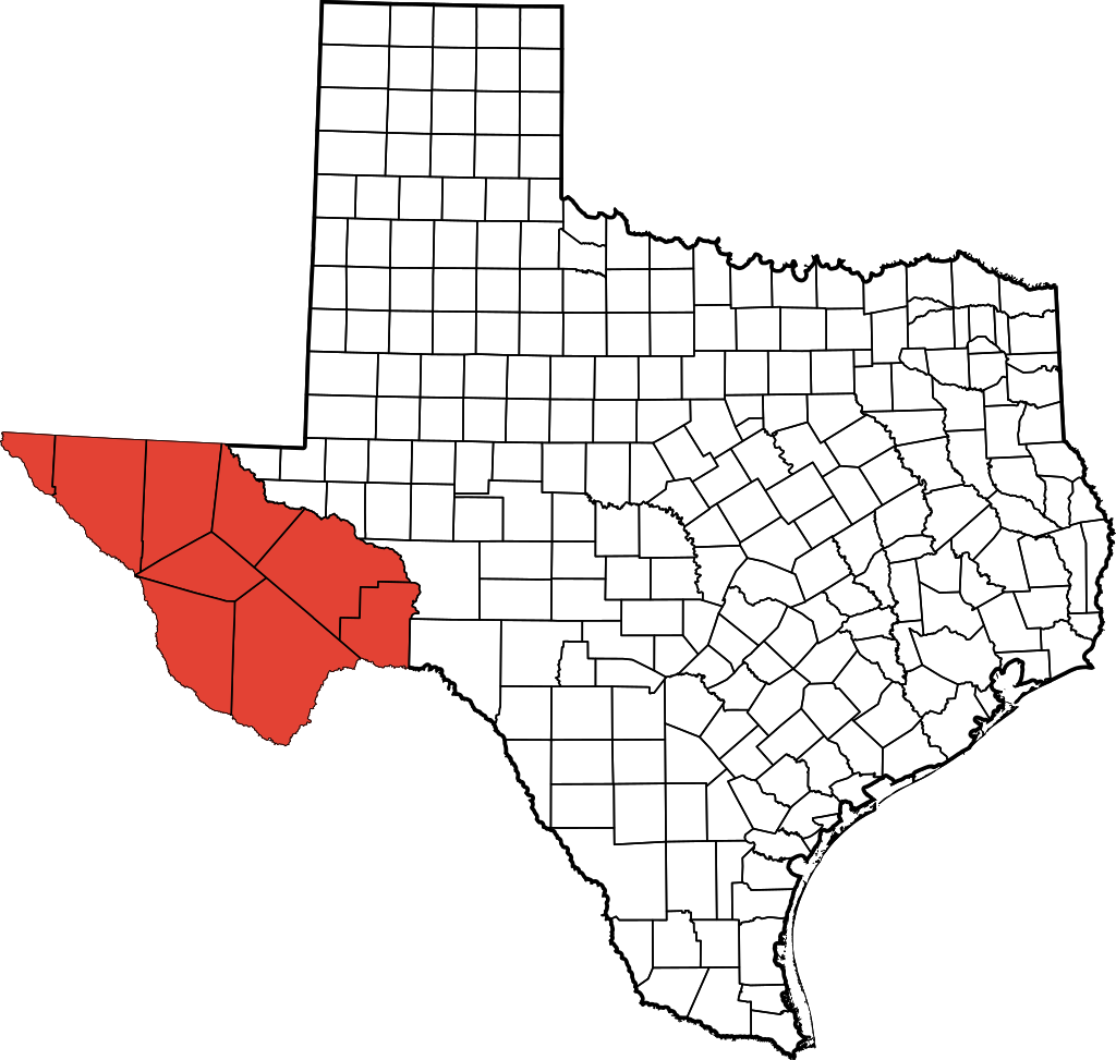
File:TransPecosTexas.svg
Jump to navigation
Jump to search

Size of this PNG preview of this SVG file: 512 × 512 pixels. Other resolutions: 240 × 240 pixels | 480 × 480 pixels | 768 × 768 pixels | 1,024 × 1,024 pixels | 2,048 × 2,048 pixels.
Original file (SVG file, nominally 512 × 512 pixels, file size: 305 KB)
File history
Click on a date/time to view the file as it appeared at that time.
| Date/Time | Thumbnail | Dimensions | User | Comment | |
|---|---|---|---|---|---|
| current | 14:52, 16 August 2009 | | 512 × 512 (305 KB) | commons>Fortguy | {{Information |Description=This is a locator map showing Jeff Davis County in Texas. David Benbennick made this map. For more information, see Commons:United States county locator maps. |Source=*[[:Fi |
File usage
There are no pages that use this file.