File:Town of Land O Lakes WI 2010 Census Map.png
Jump to navigation
Jump to search

Size of this preview: 800 × 376 pixels. Other resolutions: 320 × 150 pixels | 640 × 301 pixels | 1,320 × 620 pixels.
Original file (1,320 × 620 pixels, file size: 253 KB, MIME type: image/png)
Summary
| Description |
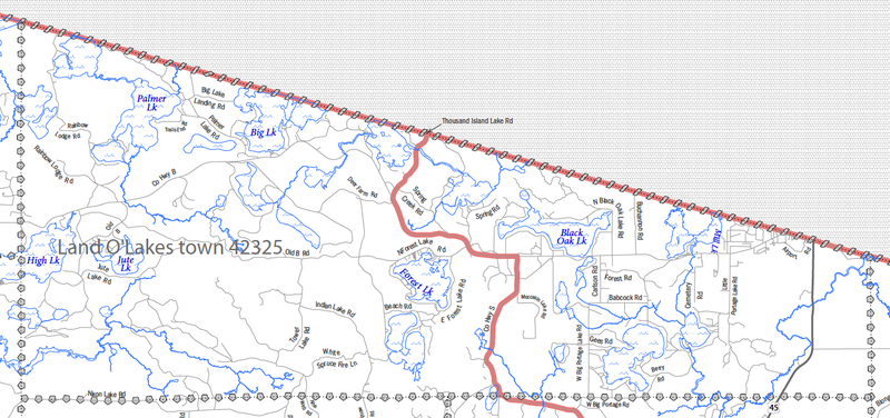
English: 2010 Census Reference Map for the Town of Land O' Lakes, Vilas County, WI. Cropped from Vilas County (PDF) |
| Date | |
| Source | http://www2.census.gov/geo/maps/dc10map/tract/st55_wi/c55125_vilas/DC10CT_C55125_001.pdf |
| Author | US Census Bureau |
Licensing
This image or file is a work of a United States Census Bureau employee, taken or made as part of that person's official duties. As a work of the U.S. federal government, the image is in the public domain.
|
 |
File history
Click on a date/time to view the file as it appeared at that time.
| Date/Time | Thumbnail | Dimensions | User | Comment | |
|---|---|---|---|---|---|
| current | 16:07, 26 October 2014 | | 1,320 × 620 (253 KB) | commons>Dual Freq | {{Information |Description ={{en|1=2010 Census Reference Map for the Town of Land O' Lakes, Vilas County, WI. Cropped from [http://www2.census.gov/geo/maps/dc10map/tract/st55_wi/c55125_vilas/DC10CT_C55125_001.pdf Vilas County (PDF)] }} |Source... |
File usage
There are no pages that use this file.