File:Topographie de brest.jpg
Jump to navigation
Jump to search

Size of this preview: 600 × 600 pixels. Other resolutions: 240 × 240 pixels | 480 × 480 pixels | 768 × 768 pixels | 1,024 × 1,024 pixels | 1,280 × 1,280 pixels.
Original file (1,280 × 1,280 pixels, file size: 219 KB, MIME type: image/jpeg)
File history
Click on a date/time to view the file as it appeared at that time.
| Date/Time | Thumbnail | Dimensions | User | Comment | |
|---|---|---|---|---|---|
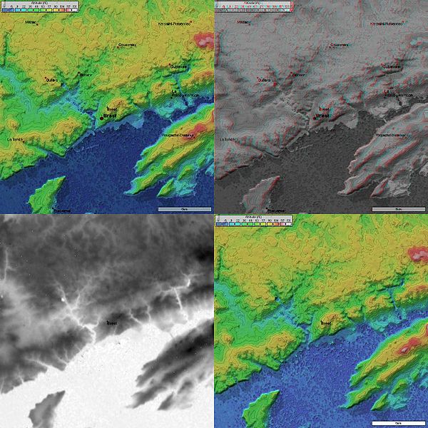
| current | 08:21, 31 October 2006 | | 1,280 × 1,280 (219 KB) | commons>Korrigan | {{Information| |Description= 4 images topographique (20 km de coté) de Brest prises par la mission SRTM. * Image topographique + position des villes * image topographique en relief + position des villes * image topographique en ni |
File usage
There are no pages that use this file.