File:Topographic map of the Kai Islands-en.svg
Jump to navigation
Jump to search

Size of this PNG preview of this SVG file: 800 × 573 pixels. Other resolutions: 320 × 229 pixels | 640 × 459 pixels | 1,024 × 734 pixels | 1,280 × 917 pixels | 2,560 × 1,834 pixels | 1,753 × 1,256 pixels.
Original file (SVG file, nominally 1,753 × 1,256 pixels, file size: 492 KB)
File history
Click on a date/time to view the file as it appeared at that time.
| Date/Time | Thumbnail | Dimensions | User | Comment | |
|---|---|---|---|---|---|
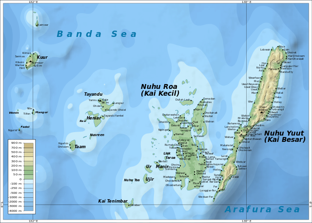
| current | 07:45, 18 April 2011 | | 1,753 × 1,256 (492 KB) | commons>Mysid | {{Information |Description ={{en|1=Map of the Kai Islands.}} |Source ={{own}} – self-made in Inkscape |Author =Mysid |Date =2010-10-18 |Permission = |other_versions = }} [[Category: |
File usage
There are no pages that use this file.