File:Topographic map of Puerto Rico.jpg
Jump to navigation
Jump to search
Size of this preview: 800 × 476 pixels. Other resolutions: 320 × 190 pixels | 640 × 381 pixels | 1,162 × 691 pixels.
Original file (1,162 × 691 pixels, file size: 392 KB, MIME type: image/jpeg)
Summary
| Description |
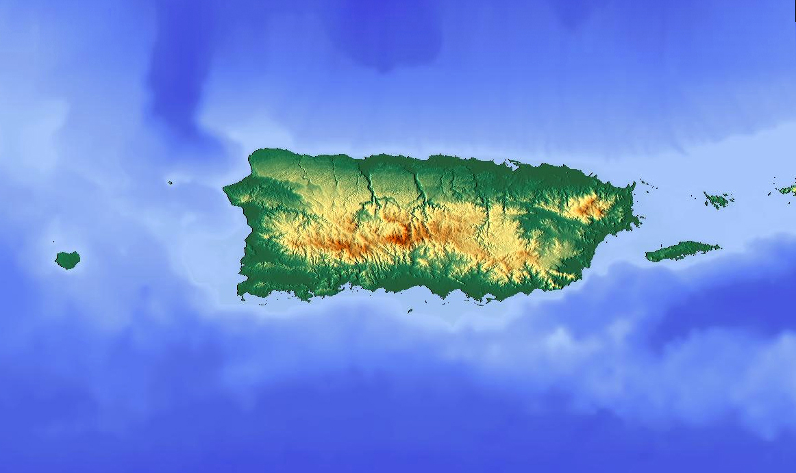
English: Topographic map of Puerto Rico Español: Mapa topográfico de Puerto Rico Français : Carte topographique de Puerto Rico Nederlands: Topografische kaart van Puerto Rico |
| Date | |
| Source | Maps of the Caribbean; from http://www.maps-for-free.com/ |
| Author | Moebiusuibeom-en |
| Permission (Reusing this file) |
GNU General Public License |
Licensing

|
This work is free software; you can redistribute it and/or modify it under the terms of the GNU General Public License as published by the Free Software Foundation; either version 2 of the License, or any later version. This work is distributed in the hope that it will be useful, but without any warranty; without even the implied warranty of merchantability or fitness for a particular purpose. See version 2 and version 3 of the GNU General Public License for more details. |
File history
Click on a date/time to view the file as it appeared at that time.
| Date/Time | Thumbnail | Dimensions | User | Comment | |
|---|---|---|---|---|---|
| current | 18:20, 23 April 2015 | | 1,162 × 691 (392 KB) | commons>Moebiusuibeom-en | User created page with UploadWizard |
File usage
There are no pages that use this file.